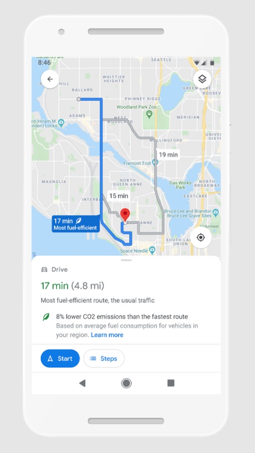
Doing its bit against climate change, Google Maps will soon calculate and construct routes to reduce fuel consumption and, by extension, the carbon footprint of journeys. The app will default to the route with the lowest carbon footprint when it has roughly the same ETA as the fastest one – though this can be disabled.
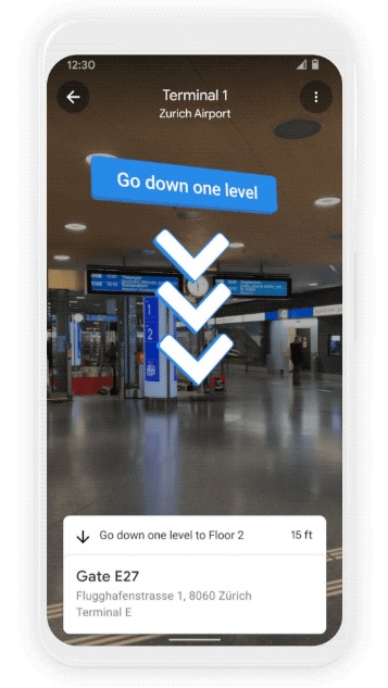
Eco-friendly routes will roll out in the US later this year, followed by a global expansion. For those who often get lost in malls, airports, and train stations, this feature might be for you then. Google Maps is set to display indoor AR directions in Live View so you can easily find your way to a specific store, the nearest elevators and escalators, restrooms, ATMs, your flight gate, check-in counters, and more.
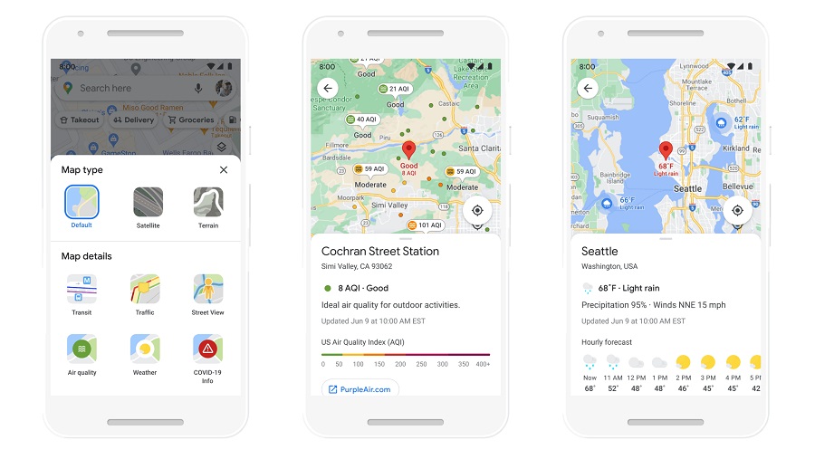
The AR part will come in the form of directional arrows and instructions on your phone screen. It will be launched first in Tokyo and Zurich, followed by other cities. Google will also be introducing two new layers to its Maps. The weather layer will allow you to check the current and forecasted weather conditions and temperature of an area. The air quality layer will tell you how healthy or unhealthy the air is in an area – particularly helpful if / when the haze returns to Malaysia again.
The weather layer is set to be launched globally soon while the air quality layer will be rolled out in Australia, India, and the US first before expanding to other countries. (Source: Google.)


